


I recently combined all of the GPS files from our ~1000-mile 26-day bike trip this past summer and uploaded them into Google Earth. The result is a path that you can “fly over” and follow. Google Earth also allowed me to plot an elevation profile of the trip.
Unsurprisingly, our favorite parts are almost exactly correlated with the hilliest sections–the Tatras mountains of Slovakia at the beginning of our journey, and the many mountains of Bosnia at the end.

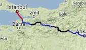
You can download the KML file from our trip here and plot it yourself on Google Earth. I took a screen capture video of the route, which you can see below.